Vestmannaeyjar at MAS863.08: Difference between revisions
New page: == Final project suggestion == '''Frosti Gíslason''' and '''Smári McCarthy''' are going to work together on a final project for the Fab Academy version of MA... |
No edit summary |
||
| Line 9: | Line 9: | ||
=== Goal === | === Goal === | ||
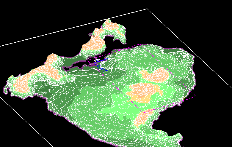
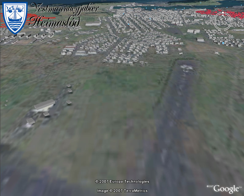
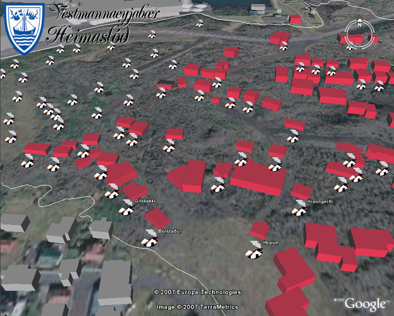
We want to make a 3x1.5 meter scale model of that part of the town that was crushed by the lava flow in 1973. The model should be connected to a computer screen that displays information related to places that people press on the model; this could either be accomplished by piezoelectric sensors or by pushbuttons concealed underneath models of buildings. | We want to make a 3x1.5 meter scale model of that part of the town that was crushed by the lava flow in 1973. The model should be connected to a computer screen that displays information related to places that people press on the model; this could either be accomplished by piezoelectric sensors or by pushbuttons concealed underneath models of buildings. | ||
[[Image:Vestmannaeyjar Haedarlinur.png]] | |||
[[Image:Vestmannaeyjar Haedarlinur2.png]] | |||
[[Image:Googleearth2.jpg]] | |||
[[Image:Googleearth1.jpg]] | |||
Revision as of 18:05, 15 September 2008
Final project suggestion
Frosti Gíslason and Smári McCarthy are going to work together on a final project for the Fab Academy version of MAS863.08, on a project that encompasses 3D modeling, electronics and HCI (human/computer interaction), while mixing it in with the cultural history of our home town.
Background
Vestmannaeyjar is an archipelago of 15 islands off the south coast of Iceland. In 1973 a volcanic eruption crushed roughly 400 houses in the town.
In 2005 Frosti and Smári started a Wiki-based Cyclopædia about the islands that now counts roughly 4000 articles and 30000 images, making Vestmannaeyjar probably one of the best documented places on the Internet on a square-meter basis. We would now like to bridge the gap between the digital version of this cyclopædia and the physical world.
Goal
We want to make a 3x1.5 meter scale model of that part of the town that was crushed by the lava flow in 1973. The model should be connected to a computer screen that displays information related to places that people press on the model; this could either be accomplished by piezoelectric sensors or by pushbuttons concealed underneath models of buildings.


